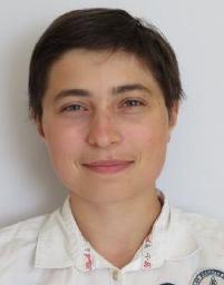
- Site: Paris
- Group: image processing and pattern recognition
Short Bio
After a bachelor’s degree in geography, I completed a master’s degree in geomatics at the ENSG in 2022, specialising in spatial analysis and remote sensing.
I’m now a PhD student in the STRUDEL team of UMR LaSTIG at IGN. I’m supervised by Nathalie Abadie (LaSTIG, IGN), Joseph Chazalon (LRE, EPITA), Bertrand Duménieu (CRH, EHESS) and Julien Perret (LaSTIG, IGN and EHESS). The aim of my thesis is to extract and structure information from the Napoleonic cadastral corpus, which includes maps and tables, in order to follow the evolution of territories and to create a database with more accurate construction dates of buildings.
Contact Information
- Email:
solenn.tual (at) ign.fr - Personal Page: https://www.umr-lastig.fr/solenn-tual/
- Git-Hub: https://github.com/solenn-tl
- Linkedin: https://fr.linkedin.com/in/solenn-tual/
Research
My ORCiD is 0000-0001-8549-7949.
My main research interests are:
- Geohistorical Knowledge Graphs
- Document Analysis
- Vectorization
Courses
I teach Spatial Analysis tutorial course in the first year of the Master Geomatic Degree at ENSG.
Publications
See the list of my publications on the following sites:
- Hal: https://cv.hal.science/solenn-tual
- Google Scholar Page: https://scholar.google.fr/citations?user=-0tzul4AAAAJ
- ORCiD: https://orcid.org/0000-0001-8549-7949

